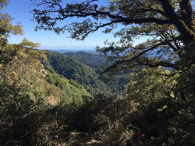
Dec 18, 2016 at Coyote Ridge Trail: Stevens Creek County Park/Fremont Older Open Space Preserve

Path Profile of Hike: HeyWhat'sThat Profile Stats of Hike: Distance ~3.1 miles out-and-back Elevation Profile: Max Elevation 1001 ft Min Elevation 440 ft Difference: +561 ft Difficulty: Moderate Comments on Difficulty: This has a large/considerable elevation gain; fast forward to 2019 I actually ran this hill on a 7 mile run with my high school :-) It was tough in the start, but not so bad later on. Trail Routing Rim Trail --> Coyote Ridge Trail Parks Covered Stevens Creek County Park --> MROSD Fremont Older OSP Trail Profile Here's the elevation profile. Yes, that's right, pretty much continuous elevation gain from the side of Stevens Canyon Road up to the peak. There are usually a few turns and switchbacks to ease up the climb, though, so no need to worry about a 45° vertical climb either! I arrived at the park on a sunny, bright afternoon. It was around 5pm - relatively cold, but not bone-chilling. W...


