July 19, 2015 (4 years ago!) at Lower Crystal Springs Reservoir
**Trail routes of all the places I've hiked (Google Maps): https://drive.google.com/open?id=15GpkKZ7JtkH-r1rvxLeR14fcMmo&usp=sharing**

Going back in time again.
How my blog will be structured: I'll post both OLDER and NEWER hikes on this site, and I will make profiles for all of them.

Going back in time again.
How my blog will be structured: I'll post both OLDER and NEWER hikes on this site, and I will make profiles for all of them.
Stats of Hike:
Distance ~6.2 miles out-and-back; mostly flat!
Elevation Profile:
Max Elevation 367 ft
Min Elevation 272 ft
Difference: +95 ft
Difficulty: Easy-Moderate (long, but flat hike)
Difficulty: Easy-Moderate (long, but flat hike)
Trail Routing Sawyer Camp Trail; out-and-back
Parks Covered San Francisco Bay Watershed (SF Public Utilities Commission); San Mateo County Parks
Trail Profile
Trail Profile

Here's the elevation map. Note that the hike has a max elevation change of +/- 80ft, so it's mostly a smooth hike.
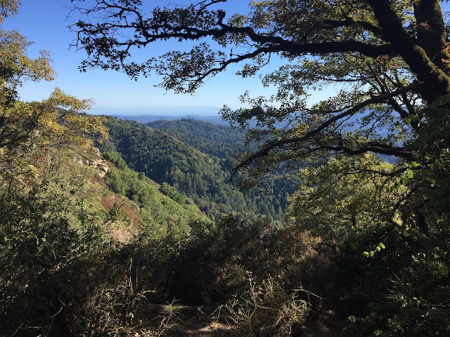
Starting off... we see some Douglas-fir out in the back... nearby we only have some minor scrubland. As you get further up the hill, there's more moisture from the Pacific Ocean, thus allowing Douglas-firs to grow.

A southern-facing view of the lake.

We exit the scrubland, and begin to see more dried grass. It looks really dry (since it's July, California has a Mediterranean climate), but in the spring, you can often see lupines and poppies blooming :)

Panoramic view of the lake. As you go from left to right, you move from south to north.

Another snapshot of the lake, this time a little closer to the lake.


Comments
Post a Comment